
Can a Topographic Survey Help With Retaining Wall Design?
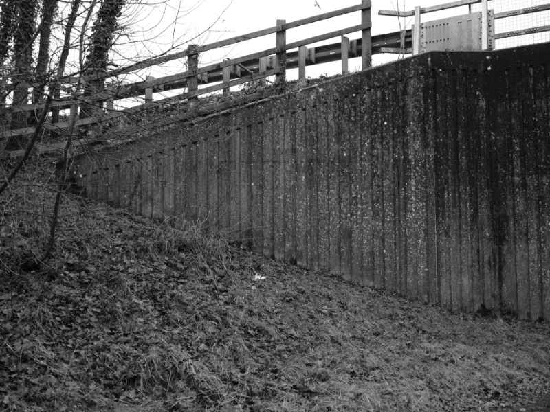
A retaining wall has one job. Hold back higher ground so the lower ground stays clear and usable. But you can’t design that wall without knowing the real shape of the land first. A topographic survey gives you that shape. It maps the slopes, the height changes, and the ground details a wall has to work with. Without this information, a designer is really just guessing. Let’s walk through how this kind of survey supports a retaining wall project, one piece at a time.
Mapping Existing Grades Around the Proposed Retaining Wall
Every retaining wall sits between two different ground levels. One side sits higher. One side sits lower. Before a designer can plan the wall, they need to know exactly how the ground behaves in that spot.
A topographic survey records these existing grades. It shows how the slope rises or falls across the area where the wall is planned. This isn’t a rough sketch. It’s a real, measured picture of the ground as it currently exists.
This comes first for a clear reason. A wall design built on guesswork about the slope rarely matches the actual site once construction begins. Starting with real elevation data avoids that mismatch from day one.
Measuring the Height Difference the Retaining Wall Must Manage
Once the grades are mapped, next is figuring out the height difference the wall needs to handle. This means comparing the elevation on the high side with the elevation on the low side.
This number matters more than almost anything else in the early planning stage. A wall managing a two-foot height difference looks and behaves very differently than one managing an eight-foot difference. The taller the difference, the more the design has to account for.
Survey elevation data gives this number with real accuracy. That accuracy helps the designer understand, early on, roughly how tall the wall needs to be and how it fits into the site around it.
Locating Nearby Structures and Improvements That Affect Wall Placement
A retaining wall rarely sits alone on an empty lot. Nearby features often shape where it can actually go. A driveway might run close to the planned location. A sidewalk might sit right at the edge. A fence or an existing structure might limit how far the wall can extend in one direction.
A topographic survey locates these nearby features. This includes buildings, driveways, sidewalks, fences, and any other visible improvements close to the proposed wall.
This matters because a wall design has to fit within real constraints, not just an open, empty space. Knowing exactly where these features sit helps the designer plan a wall that actually works with the site, instead of running into something unexpected mid-project.
Documenting Slopes Above and Below the Proposed Retaining Wall
A wall doesn’t exist in isolation. The land above it keeps rising, or leveling off, somewhere beyond the wall’s edge. The land below it keeps sloping down, or flattening out, somewhere past the base.
A topographic survey documents this wider picture using contour lines and spot elevations. Contour lines show how the slope changes across a broader area. Spot elevations pin down specific points with exact height measurements.
This bigger picture matters for design decisions. A designer needs to understand how the land behaves beyond the immediate wall footprint, not just right at its edges. This wider context often shapes decisions about drainage, wall length, and how the wall ties into the surrounding terrain.
Providing Survey Data for the Retaining Wall Designer or Engineer
Once the grades, height differences, nearby features, and broader slopes are all documented, the survey comes together as one complete package. This becomes the base information the designer or engineer uses to move forward with the actual wall design.
The survey doesn’t determine the wall’s structural requirements. That work belongs to the design professional, who factors in soil conditions, load, and other engineering details. What the survey provides is the accurate, current site picture that design has to be built on.
This handoff matters. A designer working from solid, accurate elevation data can move directly into real design decisions, rather than spending time questioning whether the site information is even correct.
Frequently Asked Questions
What does a topographic survey show for a retaining wall project?
It can document existing elevations, slopes, contours, and relevant site features around the proposed retaining wall location. This gives a clear, measured picture of the ground before design begins.
Can a topographic survey determine how tall a retaining wall needs to be?
Not on its own. The survey provides the elevation differences and ground information the designer or engineer uses. The final wall height depends on the overall design, not the survey alone.
Why are existing grades important before designing a retaining wall?
The difference between the upper and lower ground elevations affects where the wall gets placed and how it needs to respond to the site’s terrain. Accurate grade information shapes these early decisions.
Can a topographic survey show nearby driveways, sidewalks, or buildings?
Yes. Relevant visible improvements can be located as part of the survey, so the designer understands how the proposed wall relates to features already on or near the site.
Does a topographic survey include the structural design of a retaining wall?
No. The survey documents existing site conditions. Structural design, including how the wall holds back the soil, is completed separately by the appropriate design professional.